
Drone photogrammetry applications in commercial sectors

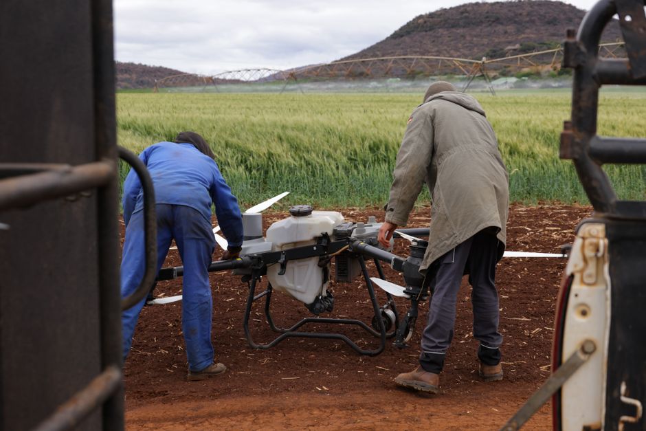
Surveying a construction site from the ground can take days, but with drone photogrammetry, you can capture site-wide measurements in under an hour. This technology is redefining how businesses collect spatial data, making precise mapping, inspection, and surveillance accessible across industries. Commercial drones now play a central role in fields ranging from utilities to security, changing both workflows and expectations.
Transforming inspection and maintenance
Drone photogrammetry enables rapid, detailed inspections for infrastructure and utilities. Instead of sending technicians up towers or into hazardous environments, companies launch drones equipped with advanced cameras. These drones collect hundreds of overlapping photos, processed into detailed 3D models or orthomosaics. This approach means fewer site visits, lower risk, and faster decision-making.
In energy and telecommunications, drone inspection is now standard for power lines, wind turbines, and cellular towers. Utility companies can pinpoint faults or corrosion accurately, schedule repairs, and minimize outages. The same methods apply in oil and gas, where drone utility inspection helps spot pipeline leaks or structural issues before they become costly problems. Using drone photogrammetry, teams can compare current and historical data to track asset condition over time.
Precision mapping for construction and surveying
Construction firms rely on up-to-date site maps for planning and progress monitoring. Unmanned aerial vehicles, whether you call them UAVs or drones, fly regular missions to gather high-resolution imagery. These images are processed into digital terrain models and volumetric measurements for tasks like earthwork calculation or progress tracking. The speed and accuracy of drone photogrammetry cut costs and help teams react quickly to site changes.
Surveyors who once had to work around traffic and rough terrain can now map large areas remotely. This improves both worker safety and data reliability. The difference between UAV vs drone is mostly a matter of terminology; in commercial mapping, both refer to aircraft that gather data autonomously or by remote control.
Enhancing security and surveillance
For large facilities and events, commercial drones offer new options for surveillance and security. Drones can patrol perimeters, monitor crowds, or respond to alarms, all while streaming video to security teams. With drone photogrammetry, these flights don’t just capture video, they map the environment in detail, highlighting changes or potential security breaches.
In logistics parks and critical infrastructure, a surveillance drone can fill coverage gaps that fixed cameras miss. Rapid deployment and real-time mapping make drones an effective response tool. Integration with existing security systems ensures that aerial data becomes part of a unified security picture.
Choosing the right drone for your sector
If you’re considering adding drones to your business, the range of options can be overwhelming. Reviewing Acecore’s product catalogue is a useful way to compare models tailored to inspection, mapping, or surveillance needs. Key factors include payload capacity, flight time, and the ability to carry specific sensors or cameras. Matching the right tool to the job ensures that your investment delivers measurable value.
Where to find deeper guidance on commercial drone adoption
For companies ready to take the next step, a detailed guide to drone implementation strategy or a comparison of drone photogrammetry software can provide the direction you need. Look for resources that give real-world case studies, regulatory insights, and technical checklists to streamline your adoption process and maximize ROI.
Discover how drone photogrammetry transforms commercial sectors, enhancing mapping, inspection, and surveillance efficiency across various industries.